The Madhya Pradesh State Spatial Data Infrastructure (MPSSDI) program envisages implementation Read More | Developed a web based system to search, view and download geo-refrenced digital khasra maps Click Here
mid banner

Others

Search Projects

fullImg
Flagship project

CM Dashboard portal provides a platform to monitor various key performance indicators of the total projects or schemes or works of State Departments on near real time basis through a Map based Analytical Dashboard. An ArcGIS Map has been embeded to improve the visualization.

fullImg
IGRS Sampada 2.0
GIS Enabled Guidelines

GIS Enabled guidelines E-Registration has made title verification easy and helps in preventing landtheft. GIS based Guidelines supported in solving the challenges in trasitional land registration process , assists the registrar officers to maintain the precise information of the colony boundaries and increasing the Guideline rates using Data Analystics.

fullImg
Sarthak

Sarthak is a Mobile-Based Employee Management Solution for the government of Madhya Pradesh. To manage Employee Attendance, Activity, Tour, Holidays, My Team, Profile using this very customized and smart feature.

fullImg
Aabkari Apradh Niyantran (AAN)

Aabkari Apradh Niyantran (AAN) is build for the Excise Department Users, application is build for the department users to perform the inspections. Form P-13 and P-9 can be filled. The application has web and mobile features.

fullImg
MP Location Master

An application for infrastructure mapping, field inspection and reporting application designed by MPSSDI Government of MP

fullImg
GIS Based DSS and DPR module Higher Education

The Higher Education Department, Government of Madhya Pradesh developed a GIS based Decision Support System (GDSS) which is capable of visualizing location of colleges on satellite imageries online(web based) based on District, City location and Assembly Constituency level and assess various scenarios for planning for opening of new colleges, new Under Graduate and Post Graduate streams at existing colleges.

fullImg
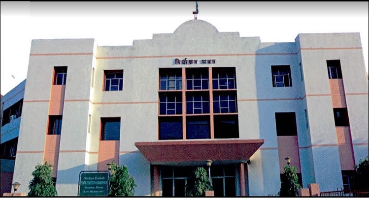
State Election Commission

State Election Commission Portal provides GIS based detailed information for various rich features that enables the citizens and the department officials, to fetch the election data & related information. Like Voter Search, ULB/Ward vise Voters, Travel Distance for Voting, Polling Station Details, Polling Station

fullImg
GIS based DSS for ECI (Election Commission of India, State - Madhya Pradesh)

GIS Based DSS for Election Commission Of India (State Madhya Pradesh) provides facility to create part boundary map, for the District upto the Mohalla / Colony level.

fullImg
NISARG

Madhya Pradesh High Court has designed 'NISARG' smart monitoring app to query the compatibility of orders regarding social responsibility like tree plantation, water conservation programmers, volunteer responsibilities in hospitals etc.

fullImg
Asset Mapping (GAM)

Asset Mapping and Monitoring via mobile application. It is a form-based mobile app that’s perfect for field survey (Asset Mapping). The combination of GPS and GIS features allow user to collect data on their mobile device – text, videos and photos –online or offline. This mobile app would be used for government officials initially. Data from the surveys are sent instantly and integrated into geoportal (web) for real-time monitoring by decision-makers.

fullImg
MLA Feedback System (MLA)

MLA Feedback System, works as a decision-making system for the MLA's to be able to make a suitable decision for the fund utilization. The project facilitates the GIS based information system that enables the MLA's to take the appropriate decisions.

fullImg
Tribal Welfare Department

GIS Based Decision Support system is developed for Tribal welfare department which is used for search the location of the department Hostels with different amenities.

fullImg
Spatial Data Download Service

Geo-rectified spatial data information is supposed to be accurate, but accuracy is not guaranteed. Any errors or omissions should be reported to MPSeDC through mpssdi@mapit.gov.in.

Designed, Developed & Maintained by MPSSDI , MPSEDC © 2022
Site best viewed in Microsoft Internet Explorer 10+, Google Chrome ver 60, Firefox ver 60 or above in 1024x768 resolution